About WASHMap
Welcome to the Gambia Water, Sanitation and Hygiene Project Monitoring and Information Portal (WASHMap), the online tool that gives information related to water supply and sanitation in the Gambia. WASHMap enables users to quickly and easily retrieve archived WASH project data at national scale and from sites across the country. WASHMap provides a suite of on-line tools to support project monitoring, evaluation and learning, including a repository of water supply and sanitation project data and a WASH map viewer.
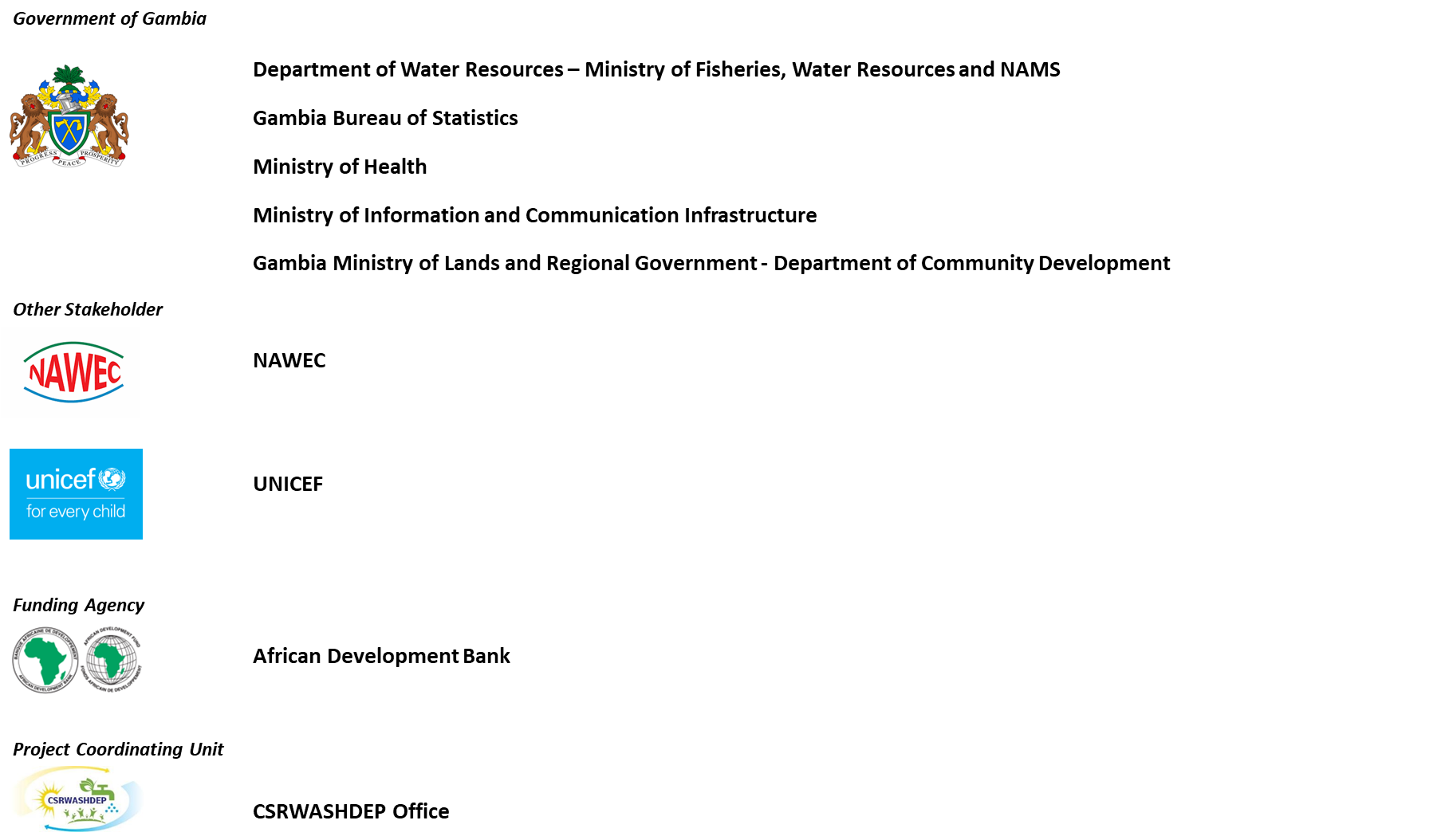
WASHMAP has been developed for the Government of Gambia through the Ministry of Fisheries, Water Resources and NAMS under the Climate Smart Rural WASH Development Project (CRSWASHDEP) and financed by the African Development Bank. Additional stakeholder was involved in the project including, among the others, Gambia Bureau of Statistics (GBoS), which actively provided guidelines and data. Ancillary Ministry Of Health data was used from the Mobile Data Collection and GIS Mapping of WASH Facilities and ODF communities in the Gambia Project, implemented in 2021, sponsored by UNICEF. The development team includes Hydro Nova and Water Charity.
Stakeholder involved

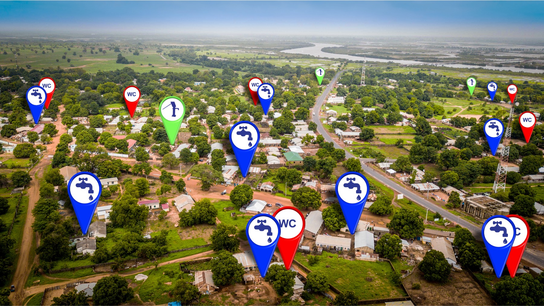
WASH Survey 2021-2022
WASHMap database is based on a nationwide survey of WASH points conducted by the project in 2021-2022.

© 2021, WASHMap, Ministry of Fisheries, Water Resources and NAMS, All Rights Reserved.
